
Philippines’ Geospatial Database Office boosts environmental protection, conservation

DENR
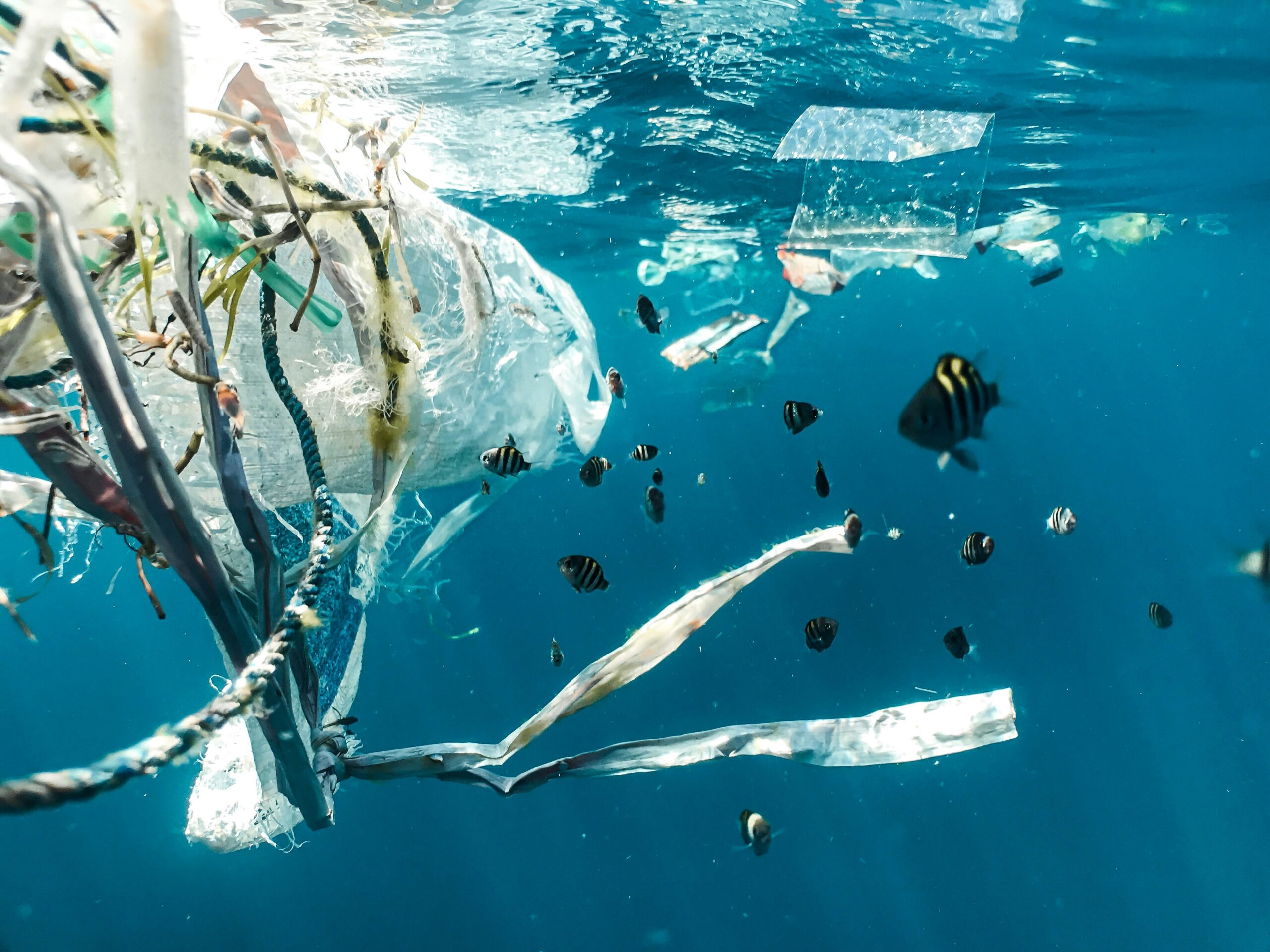
The Department of Environment and Natural Resources (DENR) has established a geospatial database office this year, aiming to enhance environmental protection and the conservation of the Philippines’ natural resources through the utilization of satellite imagery.
This new office plays a crucial role in identifying and assigning value to the country’s natural resources, facilitating effective management and enforcing environmental laws.
DENR Secretary Maria Antonia Loyzaga stated that establishing a physical baseline of the nation’s natural resources is vital for accurate accounting, appropriate valuation, and efficient management. The office, formed in February, also monitors the progress of the department’s conservation and reforestation initiatives.
The Philippines has been significantly affected by deforestation, with only seven million hectares of forested land remaining today, compared to an estimated 90% forest coverage in the 16th century.
Secretary Loyzaga emphasized that the geospatial database office allows for the identification of priority areas for forestation, reforestation, afforestation, as well as strategic placement of water systems and infrastructure to benefit communities in need.
Furthermore, Loyzaga highlighted the office’s role in climate change mitigation, adaptation, and disaster risk reduction. Forests contribute to livelihoods, water conservation, carbon dioxide sequestration, and flood prevention.
The DENR aims to reforest between one and two million hectares of land in the Philippines.
The geospatial database office, led by DENR Undersecretary Carlos Primo David, comprises a small team of 10 experts from the scientific and academic communities.
Loyzaga stated that the establishment of the office did not require additional funding, as they utilized the resources available to the DENR for the fiscal year.
The DENR also signed a memorandum of agreement with the Philippine Space Agency to create a national environment and natural resources geospatial database, emphasizing the collaboration’s support for science-based and risk-informed environmental stewardship.
Through this geospatial database office, the DENR aims to strengthen the protection of the environment, ensure proper resource management, and promote sustainable practices for the benefit of the Philippines’ ecosystems and communities.